
AGRICULTURE
An unmanned vehicle is unoccupied but under human control, whether radio-controlled or automatically guided by a GNSS-based application. There are many types of unmanned vehicles, including: Unmanned Ground Vehicle (UGV), Unmanned Aerial Vehicle (UAV), Unmanned Surface Vehicle (USV) and Unmanned Underwater Vehicle (UUV).
Initially, unmanned vehicles were used primarily by the defence industry. However, as the unmanned vehicle market has grown and diversified, their commercial use has grown. Some of the current civilian uses for unmanned vehicles are: search and rescue, crop monitoring, wildlife conservation, aerial photography, environmental research, infrastructure inspection, bathymetry, landmine detection and disposal, HAZMAT inspection and disaster management. As the civilian unmanned vehicle market expands, so will their civilian use.
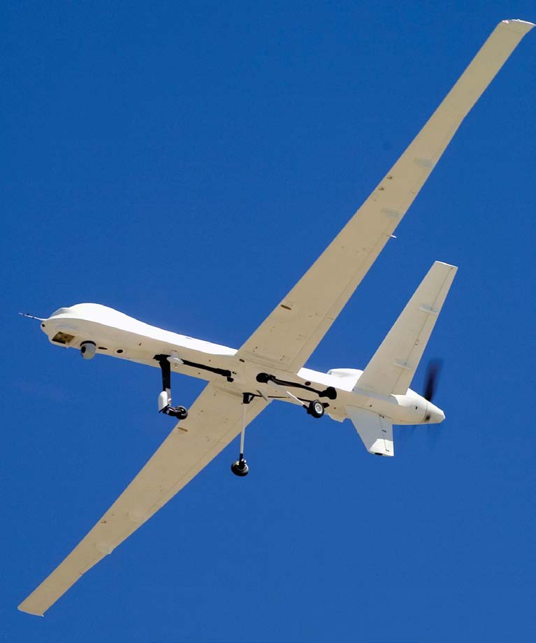
Knowing where a hurricane will make landfall and how powerful it will be are important to properly prepare for the storm. While meteorologists are good at predicting the potential path of a hurricane, it is much harder to predict how powerful the storm will be when it arrives.
To learn more about what causes a hurricane to rapidly increase or decrease in intensity, NASA is using two long-range UAVs to study storms while they are still far out over the Ocean. Onboard the UAVs are meteorological instruments that monitor the environmental conditions in and around the storm. The UAVs also have a GNSS+INS that records the UAV location and attitude for each measurement taken by the meteorological instruments. An accurate UAV location and attitude is necessary for the measurement taken to be useful.
An article (Joining the Hunt) about the NASA project to study hurricane intensification is in the 2014 Velocity magazine available at: resources.hexagonpositioning.com/joining-the-hunt.
Before the Orion spacecraft can be used for manned space missions, NASA must know that Orion can safely land on Earth. A key aspect of returning the astronauts safely to Earth is slowing the Orion spacecraft from its incredibly high re-entry speed of close to 32,000 km/h (19,884 mph) to less than 36 km/h (22 mph). This is the job of the Capsule Parachute Assembly System (CPAS).
To test the CPAS, NASA created two unmanned test vehicles. These test vehicles were dropped out of a C-17 aircraft from altitudes as high as 10,668 metres (35,000 feet). A GNSS+INS installed in the test vehicles measured the vertical velocity to test the parachute system’s effectiveness.
An article (Put to the Test) about the Orion CPAS testing is in the 2014 Velocity magazine available at: resources.hexagonpositioning.com/put-to-the-test.
The autonomous landing of an unmanned helicopter is already challenging as the navigation system needs to deal with movement of the helicopter caused by wind. This challenge is greatly increased when trying to land on a ship at sea. Not only is the helicopter’s position changing based on its movement and the effects of the wind, but the ship is also moving independently based on its movement and the effects of both the wind and the sea.
When landing a helicopter on a ship, the relative distance between the helicopter landing gear and the flight deck of the ship is much more important than the absolute position of the helicopter and ship. GNSS+INS technology installed on both the helicopter and the ship are used to determine this relative distance. The GNSS+INS on the ship calculates its position and sends that information to the GNSS+INS on the helicopter. The GNSS+INS on the helicopter uses the position sent from the ship along with its own position to calculate the relative distance and direction between the ship and helicopter. Using this relative distance and direction, the unmanned helicopter is able to autonomously approach and land on the ship’s flight deck.
An article (From Fledgling to Flight) about the landing of the unmanned Little Bird helicopter on a moving ship is in the 2013 Velocity magazine available at: resources.hexagonpositioning.com/from-fledgling-to-flight.
Delivering essential medical supplies to hospitals and medical clinics in remote areas is often challenging. Long distances and poor infrastructure can delay deliveries of supplies that are desperately needed to treat patients. Using UAVs can speed the delivery of these critical medical supplies.
An article (Zipline: Deploying Drones to Save Lives) about delivering medical supplies to remote hospitals and medical clinics is in the 2018 Velocity magazine available at: resources.hexagonpositioning.com/deploying-drones-to-save-lives.


