
AGRICULTURE
How do you measure a position through GPS satellites? What happens to a satellite’s signal as it travels toward the Earth? Which calculations or technologies do we use to generate the most accurate positioning possible?
As a leader in positioning and autonomy, Hexagon | NovAtel wrote the book on GNSS. Now, we’re making that knowledge shareable far and wide in our webinar series.
Through the series, we follow a satellite’s signal through space, reception by antennas, computations by receivers, and applications across user equipment. We’ll explain how satellite infrastructure and atmospheric effects can contribute to positioning errors, and how technologies compensate for and resolve them.
We hope this series sparks your imagination! When you’re ready to learn more about GNSS technologies and its applications across industries, download our Introduction to GNSS book here.
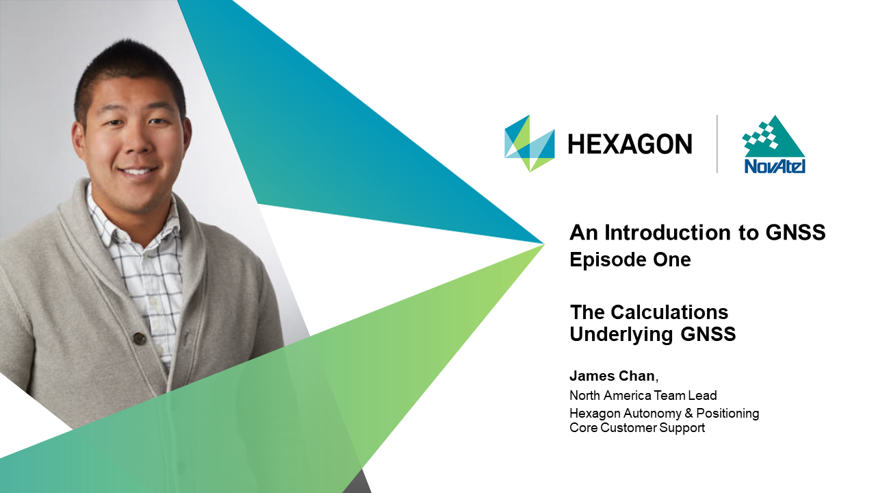
Our on-demand webinar series begins with James Chan, North America team lead and core customer support at Hexagon's Autonomy & Positioning division, explaining the underlying calculations GNSS technologies use to determine positioning. We include a transcript below.
Transcript:
Hello, and welcome to episode one of the Hexagon | NovAtel® webinar series An Introduction to GNSS. My name is James Chan, I’m the North America team lead and core customer support at Hexagon’s Autonomy and Positioning division. Thanks for joining me!
This presentation is the first of seven designed to introduce you to GNSS basics. This presentation will explain the underlying math that happens when using satellites to determine your position in the world. The webinar series will explore what happens to the signal as it leaves the satellite, through the atmosphere to user equipment and across industries. This series builds off our existing expertise in the industry as literally writing the book on GNSS. If you’re ready to dig deeper into these concepts, then check out our book, An Introduction to GNSS.
To determine your location, this is the basic equation you need: Speed equals distance divided by time. When using this formula, we’re solving for distance. This equation is a very simplified version of the calculations; we go into more detail in episode three of our series.
Here’s what we need to know about the formula: Speed is always going to be the speed of light; that’s how quickly a signal travels through space. The time is how long it took for the signal to reach the receiver. We calculate this based on the receiver’s timestamp when it receives the signal, minus the satellite’s broadcast time stamp. Once we have these pieces, we can solve for our distance from the satellite.
The calculation assumes the speed of light, but once signals reach our atmosphere, that speed isn’t completely accurate. So, we call the calculated distance a “pseudorange” -- it’s our estimated range, and we have other calculations to increase the equation’s accuracy.
Let’s visualize this in space. First, we have a satellite in space. They share their position in orbit and the time of broadcast. All satellites have a certain range they can reach. Within that range, we calculate for distance. With that information, we know we are somewhere within the satellite’s range. To narrow down our possible location, we consider other satellite locations. And now, we know we are at the point where all three spheres intersect on Earth. This process is how we apply the equation to determine our pseudorange to satellites, and find our position. But let’s dig deeper and look at the infrastructure that the satellite signal goes through.
At its basics, a satellite broadcasts a signal to a control segment with a ground-based network of master control stations, data uploading stations, and monitor stations. The control segment helps maintain the accuracy of a satellite’s position and timing, and provides an element of quality control to the signal. The satellite signal also travels to the user segment. This segment includes equipment that processes the received signals and calculates your position. These segments make up the whole infrastructure that supports satellite positioning.
Within the infrastructure are pieces of technology that handle the processing of your position. Let’s follow the satellite signal through each piece of technology:
From the GNSS satellite, the signal travels through our atmosphere to GNSS antennas. During its journey, the signal may have weakened or degraded, and antennas help amplify these weaker signals during reception. Next, the signal travels to our receivers where we use calculations to determine position. Further calculations can also occur that counteract the signal’s degradation.
Once the receiver has run the numbers and equations, it provides positioning data to user equipment working in the field. We use this signal in autonomous vehicles, precision agriculture, defense applications, and even in the average person’s cell phone.
An alternative way to consider the signal’s journey is through these steps: from satellites to propagation, or broadcast, or a signal, to reception, computation, and application. This webinar series will further expand on each of these stages, including the factors weakening or degrading signals, the equations used to supplement degraded signals, and more.
But before we get too complicated, the underlying principle of speed equals distance divided by time remains the same. GNSS infrastructure and user equipment build upon this basic equation.
At its most basic level, user equipment includes antennas to receive signals better, and receivers to improve calculations. These technologies can come by themselves, like our receiver boards here, and can be combined in different ways to further finesse calculations, like with our SMART7 antenna shown here. There are also services, software, and firmware provided that facilitate better processing of signals and positioning data.
Thanks for joining me for episode one of our introduction to GNSS webinar series! I’ve introduced you to the underlying equation to determining GNSS positioning and to the global infrastructure that supports these calculations.
Our next video will share what happens to the satellite signal when it leaves the satellite, the factors that contribute to positioning errors, or signal degradation, and more. But, if you’re ready to get a head start in learning these GNSS concepts, you can download our in-depth book An Introduction to GNSS on our website.
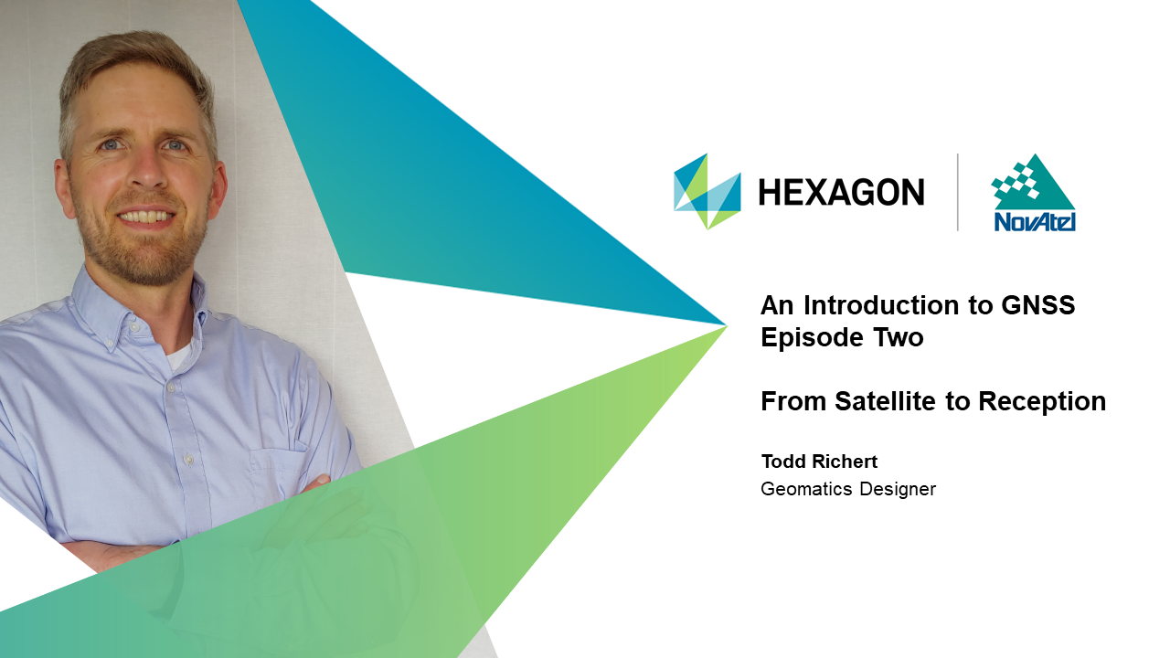
Our on-demand webinar series continues with Todd Richert, Geomatics Designer at Hexagon | NovAtel, sharing the technological and atmospheric influences that degrade or weaken signals resulting in positioning errors. We include a transcript below.
Transcript:
Hello, and welcome to episode two of Hexagon NovAtel’s on-demand webinar series on An Introduction to GNSS. My name is Todd Richert; I’m a geomatics designer in Hexagon’s Autonomy and Positioning division. Thanks for joining me!
This is the second of seven presentations designed to introduce you to GNSS basics. Today, we’ll explain what happens to the satellite signal as it leaves the satellite and moves through the atmosphere and is received by user equipment. As it travels, the signal faces technological and environmental disruptions that can cause positioning errors. We’ll review these disturbances and the technologies that help mitigate the errors.
This series builds off our existing expertise in the industry where we have literally written the book on GNSS. If you’re ready to dig deeper into these concepts, then download our Introduction to GNSS book.
As we covered in episode one, a satellite generates a signal and sends it through the atmosphere, where GNSS antennas sense that signal and convert it into raw measurements used by the receiver. These measurements are used to compute a position, which may also be combined with other sensors before being applied in user equipment. The signal is susceptible to degradations and distortions as it makes its journey from the satellite to the receiver.
Positioning errors can occur due to degradations in the data provided by the satellite itself. Errors arise due to delays in the signal traveling through our atmosphere. There’s also the risk of interference at the receiver. Whether it’s unintentional or intentional, some influences dilute the signal’s clarity or completely jam the receiver with noise.
Let’s go through each of these factors.
Though they are incredibly precise, satellite clocks are still at risk of drifting forward or backward by nanoseconds. Even the slightest drift in time can result in positioning errors.
Satellites generally follow predictable orbits around the Earth, but the orbital prediction isn’t perfect. There is some difference between where our models tell us the satellite is and where the satellite actually is located. When satellites are at a different orbital position than the position broadcast in its signal, we are calculating our position based on false information.
The satellite timing and position drift are monitored and broadcast by GNSS ground control. However, for high accuracy applications, more precise information is needed. This can be made available through Space-Based Augmentation Systems or Precise Point Positioning products. Additionally, differential computation techniques like those used in Real-Time Kinematic systems mitigate the need for precise clock and orbit information.
We explained in episode one that the basic principle of positioning is calculating your distance from several satellites. But activity in the atmosphere can distort and delay satellite signals, leading to errors in the calculation of these distances.
The ionosphere, a layer of atmosphere 80 to 600 kilometers above the Earth, is filled with ions charged by the Sun. These ions vibrate and affect GNSS satellite signals as they travel through. The distortions due to the ionosphere can be stronger or weaker depending on the time of day and the location on the Earth.
The troposphere is the layer of atmosphere closest to the Earth. Changes in its humidity, temperature, and atmospheric pressure affect GNSS signals, radio and even cellular frequencies.
There are systems and algorithms designed to help compensate for distortions due to the ionosphere and troposphere and we’ll touch on these technologies later.
Sometimes, GNSS signals will bounce off reflective objects as they make their way to the antenna. This is known as multipath because the signal may take multiple paths on its way to the antenna. Multipath is a major problem in providing highly accurate positions from GNSS because it is difficult to detect or model.
Signal interference can be unintentional or intentional. Unintentional interference happens when there is other electronic equipment emitting signals near the GNSS antenna. These other signals interfere with the true GNSS signal. This can reduce the clarity of the GNSS signal and even prevent the receiver from being able to find the signal at all.
Intentional interference usually takes the form of spoofing – giving false signals – or jamming. In both cases, your position is unreliable. Spoofing means that a false signal is provided to the receiver. This happens most often in a military scenario where an agent intentionally tries to generate a wrong position. Jamming can occur in military scenarios as well as in civilian life. Even though they are illegal, inexpensive jammers exist and can wash out GNSS signals altogether.
Engineers have developed algorithms to mitigate the effects of interference and multipath. Additional equipment like anti-jamming antennas can protect your signal from interference, whether that interference is malicious or not.
Here’s a snapshot into some of the technologies developed to protect and resolve positioning errors.
Additional infrastructure like precise point positioning, satellite-based augmentation systems, or real-time kinematic systems provide additional data to correct errors on the original satellite signal. Anti-jamming antennas protect your signals from interference. Specialized algorithms have been developed to make GNSS receivers more robust against these error sources. GNSS positioning can be augmented with other external sensors like inertial navigation systems that help provide additional data to supplement an accurate position. We will explore these technologies in more detail in episode four of our series.
Thanks for joining me for episode two of our introduction to GNSS webinar series! We’ve explored the factors that can affect satellite signals and result in positioning errors and we’ve introduced the technologies that can mitigate them. Our next video examines what happens to the satellite signal once it reaches the receiver. We’ll share some of the calculations used to compute an accurate position. But, if you’re ready to get a head start in learning these GNSS concepts, download our in-depth book An Introduction to GNSS.
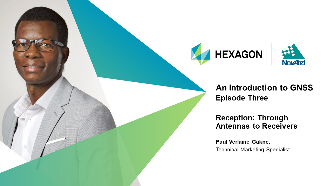
Episode three of our on-demand webinar series features Hexagon | NovAtel Technical Marketing Specialist Paul Verlaine Gakne explaining how satellite signals are received and processed to output a position. We include a transcript below.
Transcript:
Hello, and welcome to episode three of Hexagon NovAtel’s webinar series on An Introduction to GNSS. My name is Paul Verlaine Gakne; I’m the technical marketing specialist at Hexagon’s Autonomy and Positioning division. Thanks for joining me!
Today, we’ll illustrate the components of a satellite’s signal, how it’s received by antennas, and what happens when the signal is processed by receivers. We’re scratching the surface, so if you’re ready for a deeper look at GNSS concepts, you can download our Introduction to GNSS book.
We’ve explained that satellites transmit signals, but let’s go into more detail. GNSS refers to global navigation satellite systems, which includes four main groups of satellites known as constellations: GPS, GLONASS, Galileo, and Beidou. Each constellation is managed by a different country, and they each have their own idiosyncrasies. To transmit information, satellites use radio frequencies allotted to GNSS, and each constellation broadcasts on at least two frequencies. For example, GPS broadcasts at L1, L2, and L5 frequencies.
Radio frequencies are used to send satellite system data, timing, status and other information needed for accurate ranging. The satellite combines and modulates this data onto the carrier wave which is then transmitted toward Earth.
A GPS signal is made up of a unique identification code, known as the PRN code, which is used to range from a satellite to the receiver and a Navigation Message that contains satellite health, status, time and orbital information. The PRN code and navigation information are combined, and then modulates that onto the carrier wave. What results is a modulated signal that gets sent down to the receiver. Knowing how the data is superimposed onto the carrier signal, the receiver can extract the required information to range to a satellite from the modulated signal.
From a satellite, signals pass through the atmosphere towards the antenna, which senses, receives, and amplifies the satellite signal. Signals can be faint after travelling from space to Earth, so choosing the correct antenna for your application is important. Having an antenna that can receive multiple signals from multiple constellations increases the accuracy and reliability of your positioning – more access to satellites means you have more data to inform your equipment.
Our book, an Introduction to GNSS, goes into detail about antenna selection to choose the right product for your environment and application.
Once the antenna has received, amplified, and converted the radio frequency signal from a satellite, the signal is processed by receivers to de-modulate, unpack and separate the data provided. Then, the receiver outputs positioning as latitude, longitude, and height data.
Through complex equations, the receiver resolves for positioning errors and atmospheric delays, and calculates a position or more specifically geographic coordinates. With additional algorithms, receivers can also gather supplemental navigational data from other sensors.
Up to now, we’ve described the calculations underlying GNSS as determining the distance between a satellite and a receiver. We know our position is somewhere in the range of this satellite, and by multiplying the signal’s travel time by the speed of light, we can measure an estimated distance from our receiver to the satellite. This simplified equation solves for what we call a “pseudorange” -- this distance is estimated because there could be errors in the position from atmospheric delays and other factors.
This equation is straightforward, but only gives meter-level accuracy. There’s another method using the carrier signal to significantly improve accuracy in high precision applications of GNSS.
The carrier phase calculation is a bit more complicated. Instead of solving distance based on the signal’s travel time, we’re solving for the number of wave cycles that occurred. A cycle is counted from one tip of a wave to the next. Remember that we know the frequency of the carrier signal so using that we can calculate the wavelength. By multiplying the carrier wavelength by the number of cycles that have occurred, we can compute a more accurate distance than when calculating only the pseudorange.
However, while we can now calculate positioning to a centimeter-level, counting the exact number of wave cycles between the satellite and the receiver is difficult. That means we need to verify this measurement with an additional computation. This process is called Ambiguity Resolution.
Both equations are used across GNSS applications because they are useful in different ways. While pseudorange measurements are less precise, they do not have a carrier phase ambiguity. This is what we mean when we say pseudorange measurements are accurate but not precise.
Conversely, carrier phase measurements are highly precise, but typically need additional infrastructure to resolve ambiguities. For this reason, the carrier phase is often used to calculate positioning in a specific region or area, like a farmer’s field.
Use of these measurements depends on your specific application, but I should add that NovAtel receivers are designed to process both calculations and are flexible across user applications.
Our next episode will describe the ways in which common errors are resolved through equipment, algorithms, and other technologies. But, if you’re ready to get a head start in learning these GNSS concepts, you can download our book An Introduction to GNSS on our website.
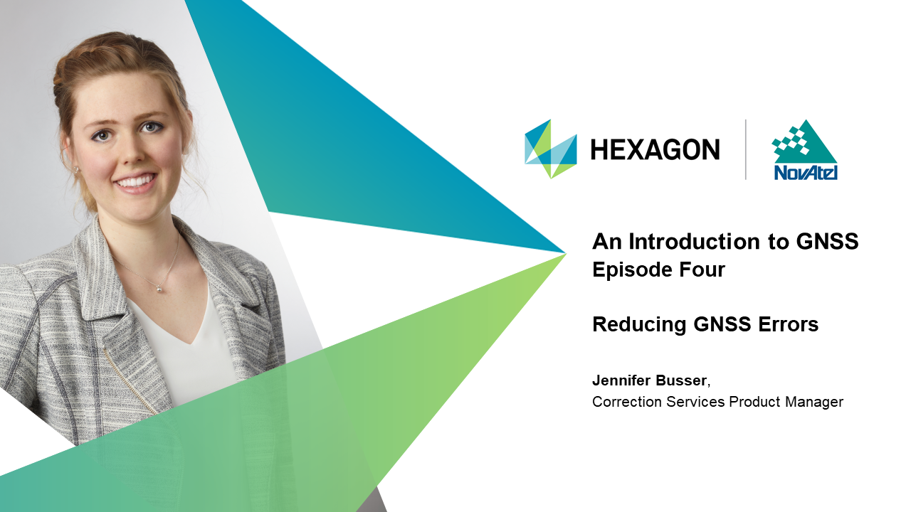
Hexagon | NovAtel Corrections Services Product Manager Jennifer Busser explores the methods used to reduce GNSS errors in episode four of our on-demand webinar series. From equipment to additional services, these methods help your solution deliver a position you can trust.
Transcript:
Hello, and welcome to episode four of Hexagon NovAtel’s webinar series on An Introduction to GNSS. My name is Jennifer Busser; I’m the correction services product manager at Hexagon’s Autonomy and Positioning division. Thanks for joining me! Today, we’re going to be exploring how to reduce GNSS positioning errors.
This episode explains some important techniques for reducing GNSS errors and improving position accuracy. I’ll share how your choice of GNSS equipment can impact position quality, and how your position can be improved further by GNSS correction data.
I recommend downloading our Introduction to GNSS book for a more in-depth look at reducing errors in GNSS systems.
As we saw in episode two, basic errors occur at all stages of GNSS positioning: clock and orbit errors are introduced at the satellite; the satellites’ signals are sped up or delayed as they move through the earth’s atmosphere; and as they get closer to the ground, they could reflect off buildings before finally getting to the antenna receiver.
With improvements in technology, scientists and engineers have developed a variety of methods to reduce these errors. Let’s dive into how we can make our positioning more reliable and accurate through our equipment, and correction services.
High end antenna and receiver designs can access more signals and are equipped to reduce more challenging error sources such as multipath, receiver noise, and poor signal quality. Antenna selection is important. An antenna acts as a gatekeeper: the quality and design of the antenna directly impacts the quality of what goes into your GNSS position. Their design is critical for filtering out bad quality signals, and the design should be matched to the capabilities of the receiver.
But nothing impacts your performance quite like your antenna placement; antennas with a clear view of the sky are able to track much cleaner signals, which means higher quality input into your position calculations. Our Introduction to GNSS book details the different antennas beneficial in real-life scenarios, so download the book for further reading.
Choosing receivers and antennas that track multiple constellations directly impacts the quality of your position. Tracking multiple constellations increases the number of potential satellites you can position with. If a satellite moves out of sight, or goes offline, you have built-in redundancy by tracking other satellites. With access to multiple frequencies, your receiver has more information about each satellite, and can perform more comprehensive error and positioning models. It also builds in resiliency against interference if one frequency band is knocked out.
Equipment and algorithm designs play a fundamental role in how all of the information in the satellite signal is used; systems that can leverage more information are often able to recover from delays and outages, atmospheric errors, and multipath effects. All these factors contribute to having better quality data to work with and provide a more accurate and reliable position.
Depending on your location and application, you may want to use correction services to further improve your position accuracy. Corrections deliver additional information about error sources, which your receiver uses to improve the quality of its GNSS position. This ultimately provides a more accurate and reliable solution.
The three commonly used correction services we’ll focus on here are: Satellite-Based Augmentation Systems, Real-Time Kinematic, and Precise Point Positioning.
By this point in our series, we’ve thoroughly discussed the basic relationship between GNSS satellites and transmission of data to user equipment. The signals travel from the satellites and are tracked by receivers on the ground. When a receiver is established on a fixed coordinate, this is called a base or reference station.
These base stations play a fundamental role in correction generation. First, we can get important information about error sources by comparing the measured base position against its known coordinate. Second, if you have many base stations, you can collect data across this network to get regional information and provide corrections over a large area.
Whether you’re using a single base station, or a network-based service, these corrections are delivered to the user’s equipment to improve the position accuracy.
Countries around the world have their own SBAS networks to supply corrections to regional users. As shown here, GNSS satellites are tracked by a network of reference stations on the ground, and this data is forwarded to a master station. The master station knows the coordinates of all the stations in the network, and so it computes corrections by comparing the measured positions to the known coordinates. This technique reduces atmospheric, satellite timing, and orbital errors.
The corrections are then uplinked to geo-stationary SBAS satellites and broadcasted back to SBAS-enabled receivers on the ground. The corrections are freely available to all users in the covered region, providing nearly immediate meter-level accuracy.
RTK is a regional solution requiring a base station near to where the user’s receiver – or rover- is operating. The base uses a radio to broadcast its well-known coordinate and carrier phase measurements to the rover, which differences these measurements to eliminate common errors.
RTK uses carrier phase techniques to achieve cm-level accuracy. With complicated algorithms, the rover leverages the corrections to quickly perform carrier phase ambiguity resolution and precisely determine its location relative to the base station.
Because of this fast and accurate performance, RTK provides an effective solution for high accuracy applications. However, as this is a differencing technique, there is a basic assumption that the conditions at the base and rover are very similar. As the rover travels further from the base, atmospheric conditions begin to vary between the two locations. As a result, good RTK performance is limited to a 20-30 km baseline.
Many users set up their own local base station on a surveyed coordinate. To extend RTK coverage, you can also access services from Network RTK providers who maintain regional RTK networks and broadcast corrections over the internet.
Precise Point Positioning (PPP) services rely on an expansive network of base stations to gather GNSS data. This data is sent to a central server to model clock and orbit errors, as well as pseudorange and carrier phase biases. The resulting corrections are transmitted to users by geostationary L-Band satellites; some services also send these corrections over the internet.
Once the corrections are downloaded, the receiver requires time to properly compute any remaining errors; this is called the ‘convergence time’. Because of the low-density network required for PPP, most services are available globally. This provides a benefit to users covering large application areas, or who are operating in remote regions.
PPP has historically provided an accuracy in the decimeter range, and convergence times of over 45 minutes. But advances in technology are improving this performance. In fact, some services now provide centimeter level performance, in under a few minutes. This has brought PPP forward as an option for precision applications such as agriculture and automotive.
How do you choose which correction type to use?
When comparing correction types, you want to ask, what corrections are available near you? What are your hardware and infrastructure requirements? What kind of correction source reliability you need?
Each correction type has benefits and limitations, and their use ultimately depends on your application requirements. Some users choose to use multiple correction sources to provide extra coverage, redundancy and reliability.
Regardless of which service you choose, the additional information supplied by corrections all improve the GNSS position calculated by your receiver.
That concludes our section on reducing errors through GNSS equipment and correction services. Our next episode will describe how to use additional sensors like inertial navigation systems to enhance your position even further. If you’re ready to start learning these GNSS concepts, you can download our book An Introduction to GNSS.
Hexagon | NovAtel positioning product manager, agriculture, Haley Lawrance describes how inertial navigation systems can be combined with traditional GNSS for enhanced positioning in episode five of our on-demand webinar series. She demonstrates how INS use inertial measurement units to understand motion, and outlines several methods of sensor fusion.
Transcript:
Hello, and welcome to episode five of NovAtel’s webinar series on An Introduction to GNSS. My name is Haley Lawrance; I’m the positioning product manager, agriculture at NovAtel, part of Hexagon. Thanks for joining me!
So far, the series has demonstrated and explained calculations and technologies behind GNSS, so you now should have solid foundational understanding of satellite positioning. Last episode, Jenn reviewed how we resolve positioning errors through GNSS equipment and infrastructure. Another way to resolve errors and further finesse your position is by using additional sensors like inertial navigation systems.
In this episode, I’ll explain inertial navigation systems, sensor fusion, and how additional systems work to complement GNSS positioning. If you’d like to read ahead about these technologies, download our free book, An Introduction to GNSS.
An inertial navigation system uses rotation and acceleration information to understand your movement in a three-dimensional space. It calculates your position, velocity, and attitude in relation to an external reference. The system uses inertial measurement units (IMU) to calculate your precise relative movement over a period of time. An IMU includes a gyroscope and accelerometer on each of the three orthogonal axes. These sensors measure rotational and linear acceleration, so that the INS can use these measurements to determine position, velocity, and attitude, including roll, pitch, and azimuth.
But, IMUs still need an external reference in order to determine your location on the Earth. The INS on its own can only provide measurements in reference to itself. In order to understand where it is situated in 3D space, it requires an external reference. That is where GNSS comes in.
Both GNSS and INS positioning have benefits and limitations. As we’ve seen in past episodes, GNSS positioning delivers latitude, longitude, and height positioning nearly anywhere in the world, but you need to have direct line of sight to at least four satellites. You can have meter to centimeter-level accuracy, but that varies and is even disrupted as a result of signal blockages, multipath, and atmospheric delays.
INS calculates the change in position based on its own direction and orientation measurements, but requires an external reference for those measurements to be applicable to the environment. As with any system, errors are present; for INS, sensor errors inherent to the IMU can cause position drift over time and require an absolute reference to correct for that drift. Lastly, accuracy can be limited by the quality of the IMU, as INS can only generate a position in relation to an externally provided point.
But when combining GNSS and INS, they seamlessly complement each other. While the GNSS position understands your location in the world, the INS solution understands how you move through it. When GNSS signals are disrupted, or line of sight is lost, INS navigation can extend accurate positioning until the signals return. INS can be used as a constraint to reacquire lost GNSS signals, or filter out poor quality signals altogether. And lastly, the position calculated by GNSS can be used as the required reference point for INS to function. Altogether, GNSS and INS complement each other to make up for the other’s limitations. Meter- to centimeter-level accuracy can even be validated and further refined with a combined solution.
A GNSS+INS solution allows kinematic applications to become much more accurate, especially in challenging GNSS environments. In this diagram, you can see how a moving vehicle relying only on a GNSS solution would lose positioning due to signal blockage and obstructions. Using an INS only solution would cause your position to be unreliable due to position drift over time without an external reference.
But, a combined GNSS and INS solution allows the moving vehicle to stay in line with the “true path,” or the trajectory with as many minimized errors as possible, for the application.
Combining GNSS and INS is an example of what is called Sensor Fusion. There are other technologies that can be combined in this manner to deliver more and more accurate solutions, or to provide different types of information that help paint a better picture about the application.
Sensor fusion can include the combination of GNSS and INS, used in NovAtel’s SPAN® technology. Sensor fusion also includes additional sensors like odometers, light detection and ranging, also known as LiDAR, and vision aided navigation.
NovAtel SPAN technology describes our software that combines GNSS and INS positioning, as well as the hardware built to measure GNSS signals and IMU measurements. GNSS and INS solutions can be combined and integrated at various levels, from deeply coupled, to tightly coupled, to loosely coupled. This coupling describes how integrated GNSS and INS technologies and measurements are in the solution. Our introduction to GNSS book goes into more detail about loosely coupled, tightly coupled, and deeply coupled solutions.
Odometers track the velocity of a ground vehicle and can offer an independent measurement of distance to the GNSS and INS solution, especially when GNSS signals are disrupted. This is especially useful in GNSS signal outages, such as a tunnel.
LiDAR systems use pulses of light to understand the solution’s surroundings. Each light pulse that is emitted from the LiDAR unit gets reflected from various surfaces, allowing the system to compute a range between the sensor and any surrounding objects.
By monitoring the solutions range to an upcoming point with a known position, LiDAR can help improve position accuracy in an obstructed area, such as an urban environment. This is also an example of combining various types of data, positioning and point cloud data, to provide meaningful information about the location.
Here’s an example of a point cloud data map from a mobile mapping application. The lasers on the LiDAR device mapped the ground, the location of the trees and bridge. Darker green indicates the closer distance to the bottom of the canyon, while objects become light green to orange the further away they were. As the vehicle moves through the point cloud, it can match its current range to various objects (trees, bridge, etc.) to a previous range to the same object and estimate the change in position over time.
Vision aided navigation is also called photogrammetry. This concept is very similar to LiDAR, except the system is now using cameras instead of laser beams. Usually, this kind of system takes the form of cameras to identify objects as reference points. The solution can then calculate relative position to those reference points, as well as a general heading to know what direction the solution is moving in.
This is by no mean a comprehensive list of all the sensors that can be used to aid GNSS. The technologies listed here are just a sample of some of the more widely used techniques.
There are many different applications for a combined GNSS and INS solution, including automotive and agriculture. Not only can SPAN track the movement of a ground vehicle, but the trusted position can also be used to ensure it stays on a specified path. This is a fundamental technology used for autonomous cars and tractors.
In a marine environment, the right GNSS+INS solution would be able to compensate for heave motions from waves. For mobile mapping, INS sensors can monitor the subtle changes in position, velocity, and attitude on a small device carried by its user, while using LiDAR to collect 3D point cloud data about the user's surroundings.
Sensor fusion with GNSS and INS technologies creates a comprehensive positioning solution that extends and verifies an accurate position in moving objects. They are very complementary technologies.
Hexagon | NovAtel Business Development Manager for Defense and Military Peter Soar introduces the strategies and methods to protect GNSS positioning in a contested environment. Through specialized equipment and algorithms, Peter demonstrates how we can protect position, navigation, and timing (PNT) information from jamming and spoofing.
Transcript:
Hello, welcome to episode six of the NovAtel webinar series on An Introduction to GNSS. I’m Peter Soar, the business development manager for defense and military at NovAtel in Hexagon Autonomy and Positioning.
Here, we’ll explore techniques for delivering GNSS time and position in conditions where it is made difficult by unintentional or deliberate interference. While Defense has led the effort against deliberate interference or jamming, most of the techniques in this session apply across industries.
This series builds on our expertise in the industry in literally writing the book on GNSS. If you’re ready to dig deeper into these concepts, then please check out our book, An Introduction to GNSS, on our website.
Position, Navigation and Timing (PNT) is a fundamental enabler — not just for navigation, but also for timing. Secure communications and networks often derive precise time from GNSS, and trustworthy PNT is necessary for so many modern services. GNSS is still the only PNT system that has 24/7 global coverage with absolute position in latitude, longitude, and height. It is trustworthy when used correctly, so we need to ensure that it is available.
But the weaknesses of GNSS are that the signals are on fixed, known frequencies and the power of the signals when they reach the Earth's surface is weak. They are susceptible to being overpowered either by local interference or deliberate jamming, and as well as to being deceived by false signals or "spoofing".
The good news is that there are ways to protect your GNSS system in a contested environment. The aim is to provide actionable, reliable Position, Navigation and Timing (PNT) despite contested conditions. In Defense circles we call this "Assured PNT".
To do this, we can use multi-constellation multi-frequency GNSS, encrypted signals to deal with spoofing, open-signal spoofing detection, anti-jam antennas, other sensors together with GNSS, and situation awareness.
Contested GNSS is not a theoretical issue but an everyday and growing problem. The openly reported problems include:
Let’s recall the journey of the satellite signals through space to antennas, and receivers, and on to our applications. Mitigation techniques and equipment can be used to protect your position and timing at every stage of the signal’s journey. Fortunately, the mitigation techniques are additive: the more of them you use, the better the protection. As a result, we recommend a layered defense.
As we explained in episode three, there are many multi-constellation, multi-frequency GNSS signals to choose from. The use of as many signals as you can access improves both accuracy and reliability. This also applies to regional augmentation systems and correction services if they are available to you. There is plenty of choice of devices and frequencies, but we need to be discerning. The principles are the same for all but each GNSS has subtly different qualities suited to certain applications and regions.
The satellites also provide encrypted GNSS signals. For government-authorized users, encrypted GNSS is used to defeat spoofing. In GPS the encrypted signals are the P(Y) Code and the new M-Code. To get the benefit of the anti-spoofing technology, a suitable military receiver must be loaded with the correct encryption key. Similar systems are in operation or planned for other GNSS.
The antenna is the "front door" of the PNT system so we need to ensure that it is secure and only lets in the desired signals. Anti-jam antennas dynamically change the shape of the gain pattern of the antenna in response to unwanted signals. Nulls (which are areas of no signal amplification) are directed towards the interference so only genuine signals from the satellites are used. This is done with multiple antenna elements on one array; these can null in the same number of directions as one less than the number of elements. So a seven-element array can null simultaneously in six directions.
Also, additional jamming signals can be excised by advanced algorithms which discriminate by frequency as well angle of arrival. Beam-steering systems go further by pointing beams of increased gain towards known satellites; this needs knowledge of the satellite positions, and position and heading of the receiver; so it's a complex approach that needs extra hardware and different algorithms and software.
Both kinds of antenna protect against jamming; they also defeat some spoofing if the receiver is already tracking.
At the receiver level, we can now detect spoofing so that you can take appropriate action. Recall Episode Two when we explained the difference between jamming and spoofing. While jamming attempts to block your GNSS signals completely, spoofing seeks to deceive your receiver.
Spoofing is done with either rebroadcasted real signals or false signals from a simulator. For users of open-signal GNSS receivers there are emerging spoofing detection methods. Knowing that you are under a spoofing attack means that you can take steps to use alternative measures and use the GNSS information wisely. Types of attacks might include matched and variable power, jamming followed by spoofing, the use of software defined radios, even spoofing before the receiver starts up. NovAtel has recently demonstrated that these attacks can be detected, allowing remedial action to be taken.
By using additional sensors that respond differently to conditions, the solution can be made to be robust as we described in Episode 5.
Robustness comes from using complementary dissimilar (or "heterogeneous") sensors which provide position and time data and rates of change, but the way that they work is different so that they are not susceptible to the same weaknesses. While each of the elements may have drawbacks, together they can provide continuous PNT data.
The classic way is GNSS+INS. It is best to use tight coupling techniques that make best use of the advantages of the sensors. The algorithms in the GNSS receiver are aided by the INS so that the system gives a solution, even when fewer satellites are visible than are normally needed.
More sensors, such as visual techniques, RADAR, LiDAR and many others can be used; and, with advanced algorithms, sensor fusion can provide a comprehensively robust system.
GNSS situation awareness is needed so that you can make informed decisions on which PNT system to rely on, and those which may succumb to attack. Modern GNSS receivers can examine and report on the signals which are inaccessible to other tools as they are below thermal noise. And, as I mentioned earlier, we can now detect spoofing with open-signal receivers. Anti-jam antennas can be used to provide information on the strength and type of jamming signals, and they can give information on the direction to the jammer.
This situation awareness enables you to make informed decisions and take appropriate action; and it is an aid to being able to attribute the interference to its source.
To protect your PNT in a contested environment, we recommend a layered defense. Select the right GNSS signals to use, and use as many as you can. If you are authorized, use encrypted GNSS signals with a secure encryption key. Employ open-signal spoofing detection, as well as an anti-jam antenna. Create a robust positioning solution with complementary heterogeneous sensors. And, GNSS situation awareness also helps because understanding the environment supports you in overcoming adverse conditions.
GNSS positioning and timing is truly achievable in a contested environment; it just requires ingenuity, suitable equipment, and the right tools.
Hexagon | NovAtel Director of Marketing Neil Gerein explains how GNSS is used to solve different positioning problems in different industries. Focusing on the agriculture, automotive, and defense industries, he outlines how GNSS and its related technologies offers comprehensive solutions to deliver positioning and autonomy – assured.
Transcript:
Hello, and welcome to episode seven of NovAtel’s on demand webinar series on An Introduction to GNSS. My name is Neil Gerein. I’m the director of marketing at NovAtel, part of Hexagon. Thanks for joining me!
This is the final of seven episodes in our introduction to GNSS webinar series. In past episodes, we’ve explored the calculations underlying GNSS, what the GNSS signal is made of and how it’s used to calculate a position.
In this final episode, I’ll demonstrate how GNSS positioning and its related technologies are used to solve positioning problems for a variety of users across industries. I’ll cover GNSS positioning in agriculture, automotive, and defense industries.
For a more expansive view of the industries relying upon GNSS, download our Introduction to GNSS book.
GNSS solves a user’s positioning problem. While accuracy, resiliency, and even technical requirements differ across industries, at the end of the day the goal is for GNSS to determine where you are in any environment.
In precision agriculture, GNSS technology enables farmers to improve efficiency with products and techniques that can cut unnecessary expenses on seed, fuel, agrochemicals and time. These applications can include autosteering, variable rate seeding and spray applications, auto section control and path planning.
GNSS positioning must be incredibly accurate over the region, down to the centimeter in some cases, which is possible thanks to correction services. These services, which we explored in episode four, must be reliable even as the farmer passes by trees that can block satellite signals at headland turns at the end of a field. Because of the row-based nature of planting and harvesting, the relative pass-to-pass accuracy of the positioning solution is a key metric for these users.
For the automotive industry, GNSS positioning provides everything from navigation support, to the development of autonomous vehicles. While accuracy is integral to the safety of autonomous vehicles, manufacturers are looking for lane-level accuracy, rather than centimeter-level. Further, because vehicles aren’t limited to a distinct geographic area, RTK-based correction services are not as effective as globally available PPP services.
As we saw in episode five on sensor fusion, a combined GNSS and INS solution is incredibly useful in a kinematic or dynamic solution like a moving vehicle. Sensor fusion with IMUs, LiDAR, photogrammetry and more helps build positioning redundancy if the GNSS signals are disrupted while the car moves through downtown areas. Positioning and the GNSS signals must be resilient to multipath, blocked signals, and more.
The automotive industry requires GNSS positioning that balances accuracy and availability with system redundancy and solution integrity. The defense industry, however, prioritizes signal resiliency.
The defense industry needs a positioning solution that will continue delivering an accurate position even while in a contested environment. Episode six explained some the specific technologies developed for contested GNSS environments. Resiliency of GNSS signals against interference is a major priority for the defense industry, as well as global availability of signals, and having built-in redundancy should GNSS signals be lost.
One requirement of positioning in Defense that we don’t see in agriculture and automotive is the need for situation awareness. As we saw in episode six, situation awareness provides an understanding of undesired and malicious signals that may interfere with desired position. It helps the user determine the best method to preserve GNSS signals and maintain their positioning solution.
While each industry has its own unique needs and requirements of their positioning solution, the technology and concepts we’ve covered in the past seven episodes outline how GNSS meets those needs.
Hardware like receivers, antennas, and inertial navigation systems build upon each other with advanced algorithms for a holistic positioning solution. A solution’s reliability and accuracy are strengthened through correction services. Positioning engines deliver real-time GNSS calculations, while post-processing software can further refine the solution for use cases like surveying or mapping where the final position can be computed after-the-fact.
These technologies, and the concepts underlying them, work together to deliver positioning and autonomy – assured.
This concludes our on-demand webinar series introducing you to GNSS. You can continue learning about intermediate and more advanced GNSS concepts through our blog, on-demand webinars and technical papers.
This webinar series was just one way to learn GNSS foundations. If you want to review what you’ve learned, you’re welcome to download our free e-book, An Introduction to GNSS.
Lee Baldwin, Segment Manager for Autonomy at Hexagon’s Autonomy & Positioning division, explains how combining GNSS with sensors enables autonomy and how levels of autonomy are determined.
Hello and welcome to episode 8 of NovAtel’s webinar series on An Introduction to GNSS. My name is Lee Baldwin; I am the segment director for autonomy at Hexagon’s Autonomy & Positioning division. Thanks for joining me!
This is the last of our eight episode series about GNSS. So far, we have covered the fundamentals of GNSS signals, how they are acquired and processed, and how they can be compromised or protected. We’ve also discussed sensor fusion and combining GNSS with inertial sensors to get more complete positioning accuracy. In this episode I am going to discuss how all these processes combine into autonomy. If you’d like to read more in depth on this topic, you can download our Intro to GNSS book at novatel.com.
Autonomous features are increasingly being added to vehicles of all kinds, both personal and commercial, taking us closer to the emergence of fully autonomous road navigation on the road, in the sky and at sea. By understanding the spectrum of capabilities between a fully autonomous vehicle and a vehicle with no autonomous characteristics, we can better understand the direction of autonomous vehicle or AV technology.
The Society of Automotive Engineers developed a standard to provide guidance on differing levels of autonomy. This standard defines six stages of vehicle automation from level zero through to level five. Level zero vehicles are entirely human-dependent, with the driver performing all tasks related to positioning and safety. Vehicles with Advanced Driver Assistance Systems such as adaptive cruise control and parking sensors can provide some Level 1 or Level 2 assistance. Increasingly advanced integrated technologies result in fully automated vehicles at Level 5, with no requirement for ongoing human input.
Autonomous vehicles contain numerous devices called sensors to monitor the physical environment and respond to different stimuli by producing electrical signals. These sensors include LiDAR, radar and cameras. LiDAR stands for light detection and ranging, where semiconductors are stacked together and fire lasers in the field-of-view. The time it takes each laser beam to return to the onboard detector after bouncing off an object determines how far away that object is.
Radar stands for radio detection and ranging, and emits radio waves rather than lasers. Although radar usually results in a lower resolution picture than LiDAR, radio waves have a longer wavelength than light so they can travel further and detect objects at a greater distance.
Cameras aid AV technology positioning by recognizing and tracking objects as the vehicle navigates through the environment.
Another important type of sensor is the inertial measurement unit or IMU. These calculate relative motion by measuring 3D acceleration and rotation and can generate data to help provide positioning, velocity and attitude. IMUs can provide positioning information to an AV during short outages of GNSS signals, such as in urban canyon environments with high-rise buildings, like what we saw in episode five.
So as you can see, one single type of sensor or positioning technology is not enough to enable autonomy. Combining sensors and GNSS, however, can ensure a vehicle has the most accurate visualization of its environment, especially when they have complementary strengths and weaknesses. An example of this would be long featureless highways through deserts and prairies or poor weather conditions such as blowing snow or fog. These conditions would have no effect on GNSS signals or radar, but they would degrade the quality of data input from cameras and LiDAR. A vehicle driving in the city through a tunnel or underpass would receive degraded GNSS signals, but cameras and LiDAR would be unaffected. All the sensors work together to help the autonomous technology perform in all possible environments.
The use of software algorithms to verify the output integrity of multiple sensors and tie valid outputs together with GNSS to create a high-definition environmental map is known as sensor fusion. This magic mix combines the sum of all parts to allow for an exponential increase in reliability by amalgamating multiple data outputs. It’s not only sensors dedicated to autonomy that are useful in sensor fusion, but also wheel speed sensors and more. Most modern commercial and industrial road-based vehicles contain many other useful sensors. In a modern vehicle you can expect to find speed sensors on every wheel, yaw rate sensors, steering angle sensors, transmission settings, throttle and brake sensors, all transmitting information to a highspeed data bus.
You should now feel more familiar with the solutions from development to operation that are making autonomous and inherently safe vehicles a reality. If you want to learn more about this topic, you can download a copy of our book, An Introduction to GNSS, at novatel.com. Our book also explores different applications that have developed safe and reliable autonomous operations, so you can see this episode’s concepts put into action.
This concludes our on-demand webinar series introducing you to GNSS. You can continue learning about intermediate and more advanced GNSS concepts through our blog, on-demand webinars and technical papers.
This webinar series was just one way to learn GNSS foundations. If you want to review what you’ve learned, you’re welcome to download our free e-book, An Introduction to GNSS.


