
AGRICULTURE
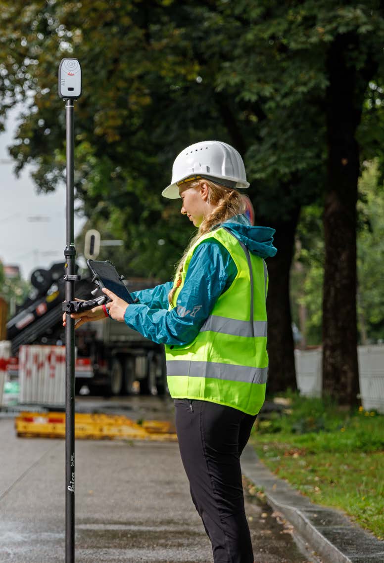
GNSS-based surveying reduces the amount of equipment and labour required to determine the position of points on the surface of the Earth compared with previous surveying techniques. Using GNSS, it is possible for a single surveyor to accomplish in one day what might have taken a survey crew of three people a week to complete.
Determining a new survey position once required measuring distances and bearings from an existing (known) survey point to the new point. This required using a theodolite to measure angular differences and metal “chains” (long heavy tape measures) pulled taught to minimise sag and accurately measure distances. If the new and existing survey points were separated by a large distance, the process would involve multiple setups of the theodolite, then multiple angular and distance measurements.
Using GNSS, surveyors can now set up a DGNSS or RTK base station over an existing survey point and a DGNSS or RTK rover over the new point, then record the position measurement at the rover. This simplification shows why the surveying industry was one of the early civilian adopters of GNSS technology.
In a seismic survey, sound waves are sent from a source (explosives or a thumper truck) through the ground to an array of sensors (geophones). Knowing the exact location and orientation of the geophones is critical for a successful survey.
Placement of traditional geophones is a two- step process. First, a team surveys the area and places markers for each geophone. Later, a second team places the geophones precisely on the marked locations and then orients them using a direction measuring device, such as a compass.
Using GNSS-enabled geophones eliminates the need to survey the area first. The GNSS-enabled geophones have a GNSS receiver and dual-antennas integrated into the geophone. The receiver and dual-antennas allow the geophone to not only determine its exact location, but also its orientation. An article (Building a Better Geophone) about how GNSS is used to simplify geophone placement is in the 2013 Velocity magazine available at: resources.hexagonpositioning.com/building-better-geophone.


