AUTONOMY & POSITIONING DIVISION
Hexagon's Divisions
Explore Hexagon
AGRICULTURE
ASSET LIFECYCLE INTELLIGENCE
AUTONOMY & POSITIONING
GEOSYSTEMS
Hexagon Geosystems
MANUFACTURING INTELLIGENCE
MINING
Safety, INFRASTRUCTURE & GEOSPATIAL
XALT SOLUTIONS
Explore All
Explore Hexagon
OUR STORY
SOLUTIONS
SUSTAINABILITY
Learn More
Products
GNSS Receivers
GNSS & GPS Receiver Boards
Enclosures
Ground Reference & Uplink Receivers
GNSS Inertial Navigation Systems
Combined Systems
Inertial Measurement Units (IMUs)
GPS & GNSS SMART Antennas
SMART2™
SMART7 Products
GPS & GNSS Antennas
VEXXIS® Series Antennas
High Precision GPS & GNSS Antennas
Compact & Small GNSS Antennas
CRPA Antennas
Fixed Reference GNSS Antennas
GPS & GNSS Correction Services
Corrections Coverage Map
TerraStar Correction Services
Compare TerraStar Services
RTK ASSIST Services
TerraStar Global Services
TerraStar-X Services
What are TerraStar Corrections?
Why use TerraStar?
Oceanix correction services for marine applications
HxGN SmartNet+ correction services
GRIT - GNSS Resilience and Integrity Technology
GNSS Spoofing Detection
GNSS Interference Toolkit
Time-Tagged Digitized Samples
Anti-jam Antenna Systems (GAJT)
GAJT-310 anti-jam antenna
How low latency anti-jam protection gives you peace of mind
GAJT-410ML anti-jam antenna
GAJT-410MS anti-jam antenna
GAJT-710ML anti-jam antenna
GAJT-710MS anti-jam antenna
GAJT-AE-N Anti-jam antenna electronics
GNSS Receiver Firmware & GNSS Software
Drivers for ROS™
EDIE software development kit
GNSS Receiver Firmware Options
NovAtel Application Suite
Manage (Web)
USB Drivers
Waypoint post-processing software
Inertial Explorer
Inertial Explorer Xpress
GrafNav
GrafNav Static
Waypoint SDK
Waypoint Software Release
Automotive Solutions
Automotive GNSS modules and antennas
Engineering and Integration Services
Positioning Engine
TerraStar-X Enterprise
Off-road Autonomy
GNSS for Autonomy
Development Kits for Autonomy
Perception for Autonomy
Sensors for Autonomy
Compliance, Policies and Notices
Industries
Aerospace
Agriculture
Automotive
Construction, Mining and Industrial
Defense
Marine
Mobile Mapping
Survey
Timing Applications
Unmanned Systems
Solutions
Anti-Jamming
Attitude
Heading
Integrity Monitoring and Augmentation
About Positioning
Relative Positioning
Smooth Positioning Trajectory
Timing
Velocity
Interference Mitigation
Tech Talk
An Introduction to GNSS
An Intro to GNSS Book
Intro to GNSS On-Demand Webinars
Intro to GNSS Resources
Are you protected from the threat of GPS and GNSS jamming?
GNSS vs. GPS: Understanding the differences
How does GPS work?
The benefits of GNSS INS integration
What are GNSS corrections?
What is assured PNT?
What is GNSS spoofing?
When centimetres matter, high-precision GNSS receivers are the solution
Blog
Ionospheric scintillation resources
Ionospheric activity forecast map
How to observe ionospheric scintillation in GNSS software
Redundancy and resiliency against ionospheric scintillation
What is ionospheric activity?
Space weather's impact on GNSS
Technology In Action
Testing to the edge: Reliable positioning, velocity and attitude
Testing NovAtel SPAN positioning technology at 10,000 feet
Navigation warfare: GNSS denied
Varden Labs
Automated Flight Control System
NovAtel Wingsuit Jump
NovAtel and the Mars Rovers
GNSS Technology For Sport
Our history in GNSS
Velocity magazine
Velocity 2025
Velocity 2024
Velocity 2023
Velocity 2022
Velocity 2021
Velocity 2020
Velocity 2019
Velocity 2018
Velocity 2017
Velocity 2016
Velocity 2015
Velocity 2014
Velocity 2013
Video Library
Webinars
An introduction to RF interference, jamming and spoofing
Autonomy for Off-Road Applications
Enhanced GNSS Jamming & Spoofing Resilience
Frontiers of GNSS Accuracy
GNSS/INS Sensor Fusion with On-Board Vehicle Sensors
Nobody’s Fool Jamming and Spoofing Detection
PNT from and for space: What are the steps necessary to make LEO positioning a reality?
Positioning While Highly Dynamic
PPP Set Free: Precise Positioning Now for Everyone
Precise, safe, GNSS-based vehicle localisation system
Precision GNSS and Sensor Fusion in Autonomous Vehicles
Pushing the Boundaries of Autonomy
On the Road to Autonomy: Predictions for the Future
Robust Dual-Antenna Receiver: Jamming/Spoofing Detection and Mitigation
Sensor Fusion in Autonomous Vehicles
Space weather's impact on GNSS
Testing the Limits: A behind-the-scenes look at extreme testing and GNSS+INS performance
Where precision meets reliability: Enabling autonomy through GNSS corrections
Why is “good enough” positioning not okay in ag autonomy
NovAtel at Intergeo 2020
High Precision Positioning for Automotive
Autonomous Vehicle Safety: How to Test, How to Ensure
Antennas for Autonomous Automotive Applications
Detection and Geolocation of GNSS Interference
Advancements in GNSS+INS Technology and Integration
GALILEO: Dawn of a New Age of GNSS Service
Safety-Critical Positioning
Signal Interference: Detection and Mitigation
Papers
Support
Search Support Materials
Application Notes
Firmware Downloads
Integration Guides
Manuals
Performance Analysis
Product Sheets
Software Downloads
Technical Papers
Waypoint Downloads
Documentation Portal
Training, Videos and Events
Support Articles
Bulletins, Alerts & Release Notices
Contact Support
Response and Escalation
About Us
Company Overview
Vision, Mission & Core Values
Quality Policy & ISO Certificate
Environmental Policy & ISO Certificate
Sustainability
Press Releases
Trademarks
Terms and conditions of sale
Website Terms of Use
Combating Trafficking in Persons Policy & Compliance Plan
Forced Labour in Canada Supply Chains Act
Third party privacy notice
Conflict Minerals Statement
Counterfeit Parts Policy
Careers
Shop Now
Contact Us
Contact Sales
Contact Support
Dealer Network
Locations
Home
Support
Waypoint Support
Waypoint Software: Getting Started
Videos: Getting Started
Waypoint Software: Getting Started
Licensing
Videos: Getting Started
Videos: Getting Started
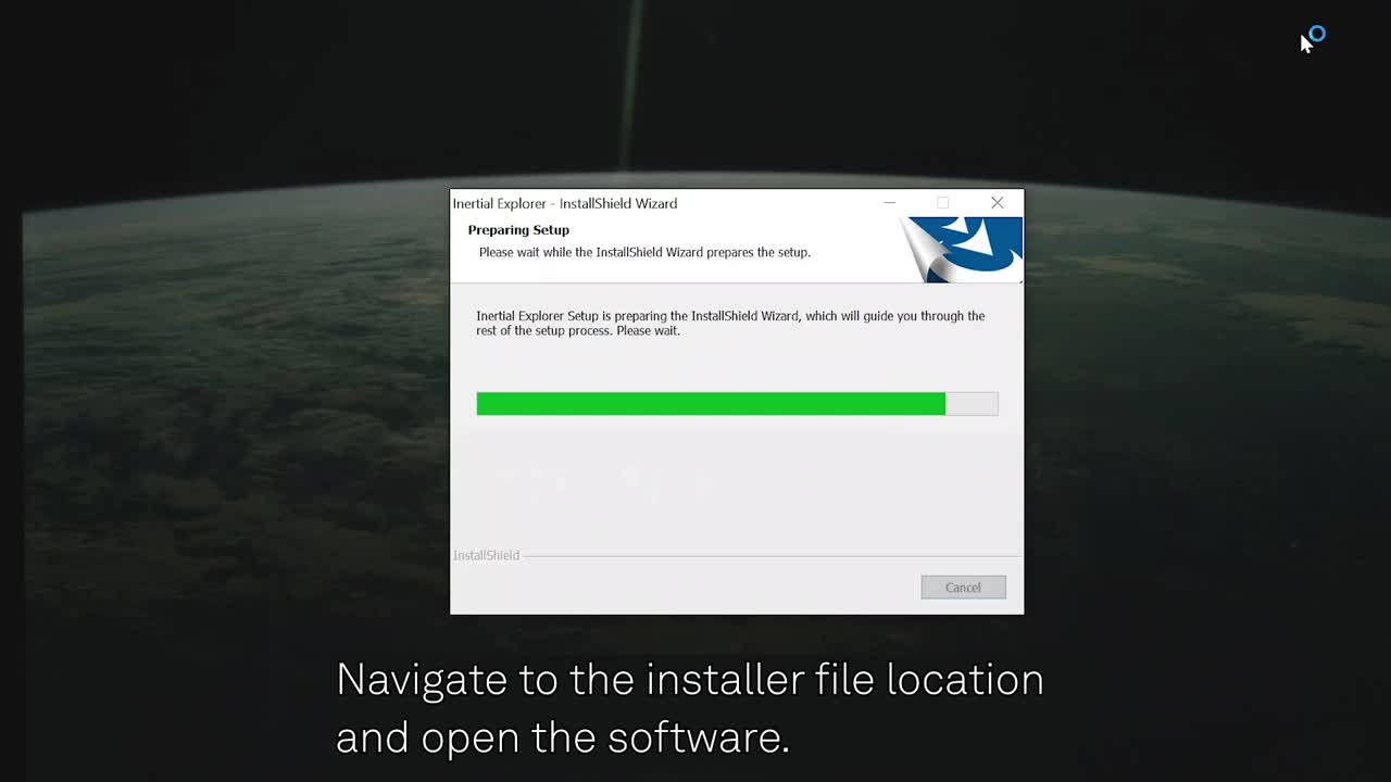
Installation & license activation
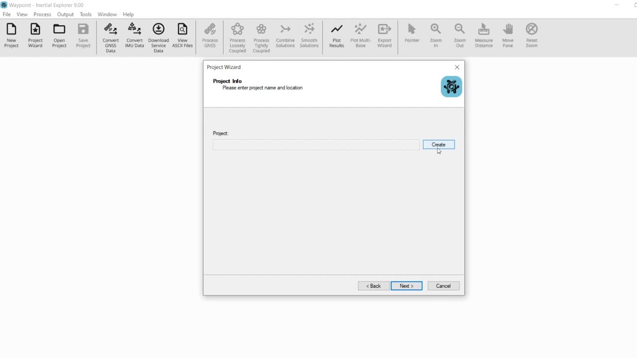
Creating a project
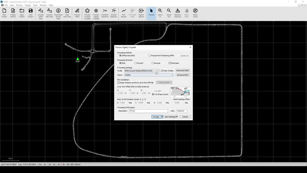
Processing
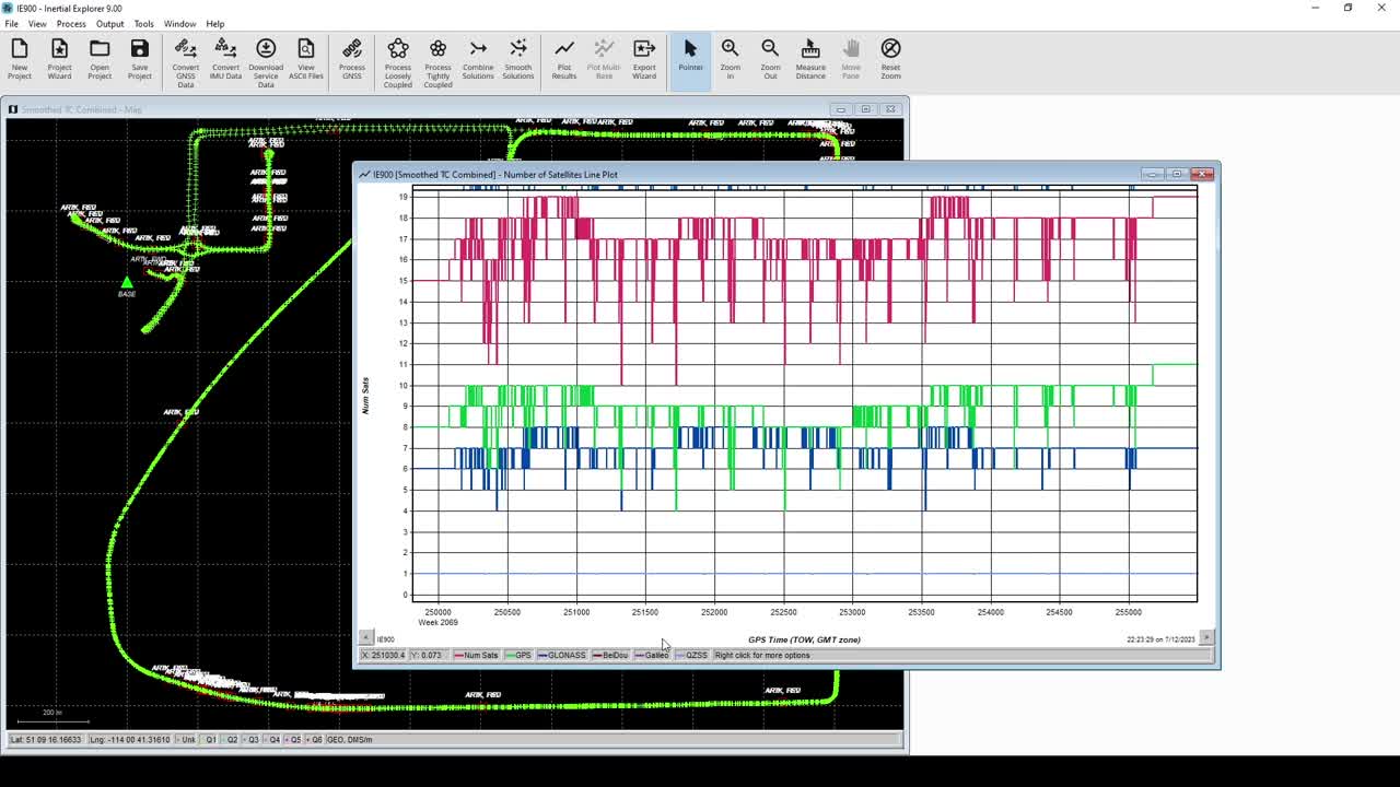
Plotting & quality analysis
Exporting
Connect with an expert from our support team
Contact Support