AGRICULTURE

The field of reality capture is in its renaissance period. Capturing full 3D environments has revolutionised the architecture, engineering, and construction sectors, and many aspects of full infrastructure lifecycles.
Reality capture sensors typically produce rich 3D point clouds that can be meshed for modelling, classified by feature types, have features extracted, and colourised for stunning visuals and immersive, collaborative environments. Point clouds are the plasma of these new geospatial mini-worlds. They serve as the as-built foundation for digital twins and building information modelling (BIM) for the AEC and infrastructure sectors.
The mass data generated by reality capture to deliver rich 3D point clouds and imagery is increasingly acquired dynamically—with sensors on moving platforms. The data quality expectations for reality capture in motion cannot be met without highly precise positioning. Choosing high-performance positioning components for reality capture systems builds a solid foundation, and then, the real geospatial magic can happen.
In 2023, Looq AI won Gold in the Intelligent Modeling category of the Edison Awards for their innovative, image-based reality capture system. The Looq platform is both a field capture approach and a processing workflow. The qCam system creates high-resolution 3D models with automatic georeferencing via Septentrio’s mosaic-X5 GNSS module plus inertial measurement unit (IMU) processing.
“Our customers need precision and accuracy without compromise. That is why we selected a Septentrio compact GNSS module receiver, which answers the demands of our users as well as the tight space constraints of a handheld device.”
Featuring interviews with Looq AI and Septentrio, you will learn about the key criteria for GNSS positioning solutions for dynamic reality capture, including multi-constellation, multi-frequency capability, mitigation for unintentional and intentional interference, like jamming and spoofing, as well as correction of multipath error.
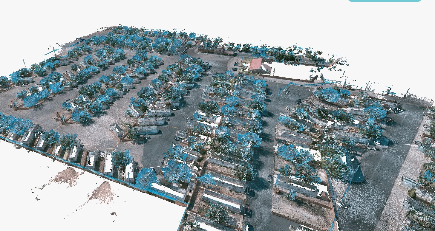
Example of site surveyed using the Looq AI qCam platform (cameras, GNSS, and IMU) and AI processing. Source: Aquawolf.

Read the full article by downloading Velocity 2025