AGRICULTURE
When GNSS signals are broadcast from satellites, they travel thousands of kilometres to reach user equipment on Earth. As these signals travel through Earth’s atmosphere, they can become negatively impacted by changes in the ionosphere. As we enter a period of increased activity in the ionosphere, how can users working in applications from agriculture to marine build redundancy and resiliency against scintillation?
In this blog post, we explain what the ionosphere is, how it affects GNSS signals, and what users can do to strengthen their systems against positioning errors caused by ionospheric scintillation.
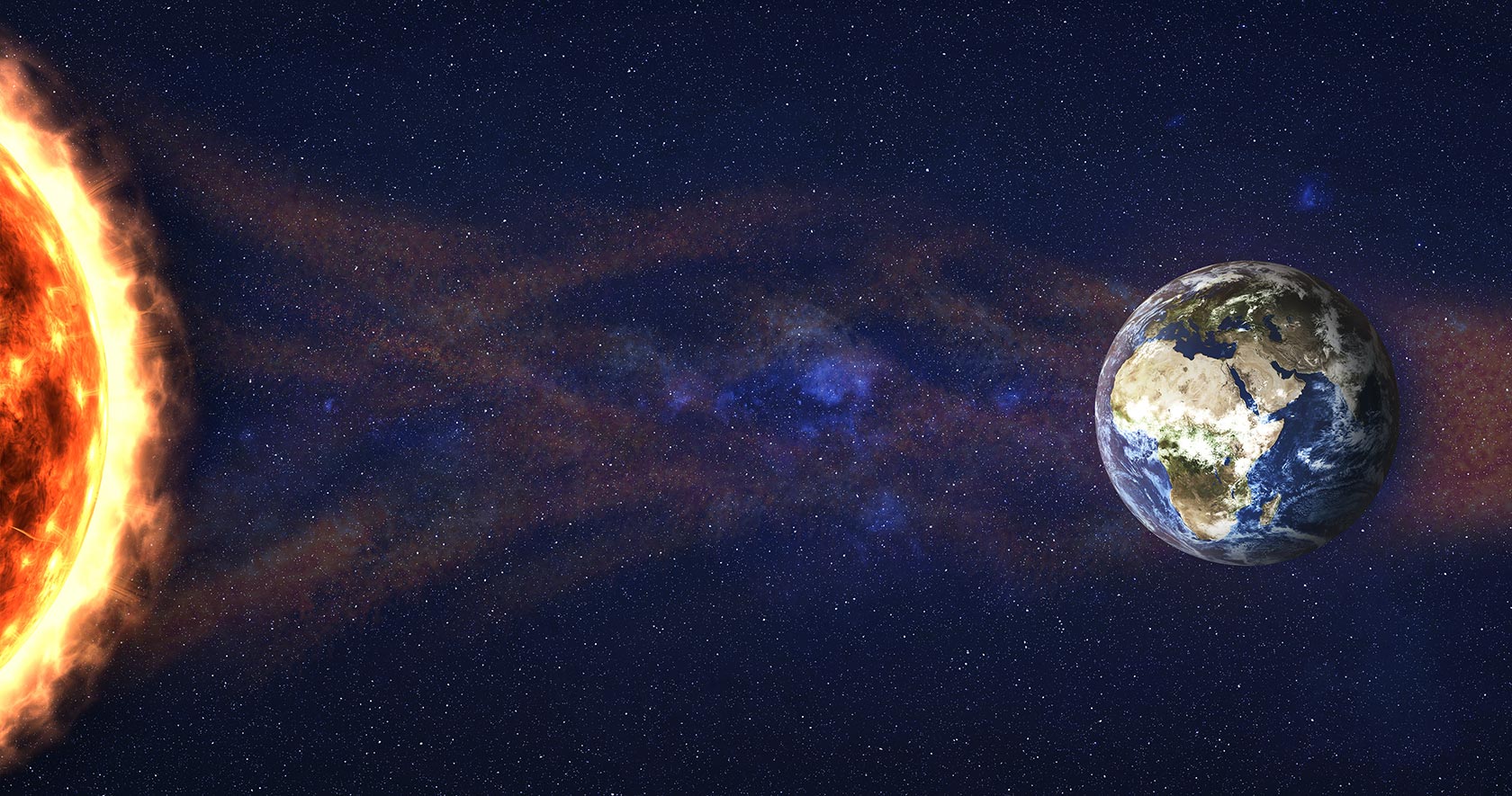
The ionosphere is one layer of Earth’s atmosphere found between 50 to 1,000 kilometres above Earth's surface. There are high concentrations of ions and free electrons in this layer that react to the Sun’s radiation.
When there are periods of high solar activity like in a solar flare, the density of the ionosphere changes yielding spatial and temporal fluctuations. These fluctuations can occur over a broad region or appear as equatorial plasma bubbles around 100 kilometres wide. Ionosphere density changes like these will delay GNSS signals so it takes longer for them to arrive to user equipment. Further, the delays cause the signals to separate from the transmitted data, deconstructing data integrity. These impacts result in positioning errors, spatial correlation challenges and reduced availability of reliable signals.
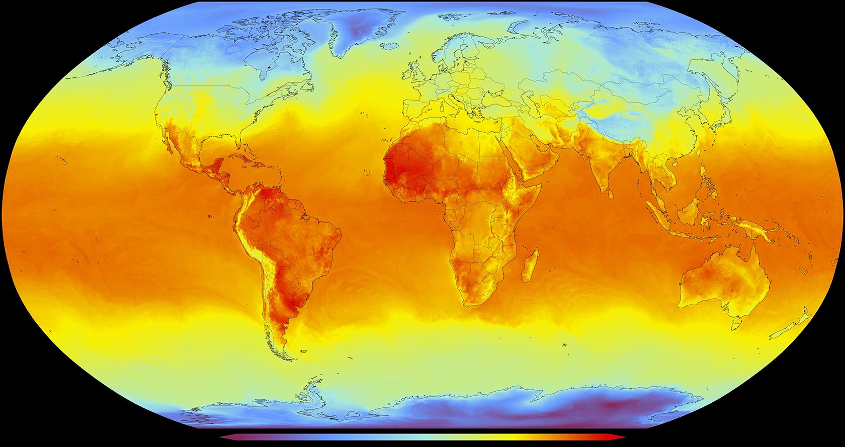
Rapid variations in the signal amplitude and phase, known as scintillation, are unpredictable. Scintillation can occur worldwide, but is often concentrated along the geomagnetic equator in areas like South America and Southeast Asia.
Ionospheric scintillation can occur daily, frequently in the evenings, and also increases during spring and fall equinoxes. These fluctuations are also tied to the Sun’s own cycles that occur every 11 years – as we enter solar cycle 25, we are seeing an increase in solar activity resulting in ionospheric scintillation being stronger and more frequent. Regardless of the cause of scintillation, worldwide users of GNSS are reporting more positioning challenges as a result.
A satellite signal is broadcast at a specific frequency and speed with data encoded into its radio waves. As it travels through the ionosphere, these waves are refracted or diffracted, which affects the radio waves’ speed, wavelength and direction. GNSS receivers on Earth may have intermittent reception of signals, incorporate data with incorrect calculations from timing delays, or lose tracking of satellites altogether.
When operations rely on GNSS positioning, scintillation can result in significant working delays, hazardous risks and downtime.
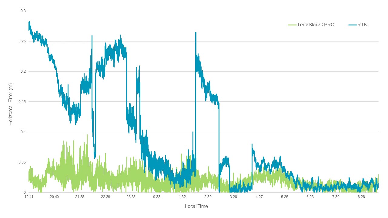
For operations that must continue 24/7/365, or operate during periods when scintillation is more frequent, the effects can cause large positioning errors, like those seen in the above graph.
Precision agriculture applications rely on GNSS positioning to maximise yields, resources and inputs. Crop-specific inputs, like seed, fertilizer or agrichemicals, can be placed in specific locations for optimal efficiency and lower environmental impact. When GNSS is disrupted by scintillation – a frequent event for farms in Brazil, for example – operations come to a halt waiting for high accuracy and reliable positioning to resume, causing costly downtime and inefficient use of resources. In an industry that is seasonal and has very limited time windows for each part of the agricultural lifecycle, this can be highly detrimental. As a result, agriculture operations trend toward using a PPP solution as it typically performs better than RTK during scintillation, as seen in the above graph.
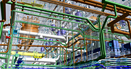
Because of the mass production of vehicles, automotive positioning is often achieved through low-cost GNSS chipsets that are typically single- or dual-frequency receivers. While these chipsets make scalability within reach, GNSS positioning is not as accurate or as resilient to ionospheric scinitllation when only one or two frequencies are used. When a user enters an area where scintillation is occurring, they experience an increase in positioning errors, which can cause an autonomous system to exceed its error budgets. Localisation of the vehicle becomes more challenging and these increased errors can impact the sensor system’s accuracy as well, making the vehicle’s position no longer reliable.
GNSS is vital for operations at sea, particularly when offshore, where there are no landmarks to navigate by. Nearshore applications like dredging, port operations and hydrographic survey rely on precise GNSS positioning for efficient operations and the safety of vessels and crew. For offshore applications like dynamic positioning, seismic exploration and windfarm construction, GNSS becomes even more imperative for mitigating risk to the environment and all onboard. When ionospheric interference occurs, operations must entirely stop to maintain safety standards. This downtime can be costly, but safety comes first.

While there are different methods to reduce the impact of ionospheric errors, leveraging a combination of different solutions creates the most redundant system. Using GNSS correction services like precise point positioning (PPP), redundancy in tracking and additional sensors can help strengthen a GNSS positioning system against scintillation.
As the ionosphere becomes more active in solar cycle 25, it’s vital to understand these effects in order to mitigate the impact on applications and end-users. There are many resources available to learn about scintillation, other effects that cause positioning errors, and how to build system resiliency against them.
Continue learning about ionospheric scintillation and its impact on GNSS in this webinar on space weather from Hexagon’s Autonomy & Positioning division and Inside GNSS.