AGRICULTURE
An integrity monitoring solution uses GNSS signals to detect changes or anomalies in satellite signal characteristics that could affect the accuracy of the position calculated by the user equipment. Integrity monitoring is essential to any application that relies on GNSS measurements, particularly for those for which misleading, undetected errors could affect safety of life. A pplications include:
The use of GNSS technology in civil aircraft landing systems presents an excellent example. Integrity monitoring networks consisting of fixed ground reference stations are frequently set up to continuously measure GNSS signal characteristics.
Slight changes in the signals can be tolerated by sending correction information to the receiver on board an aircraft. If certain integrity limits are exceeded, the system will notify the user equipment within seconds so that the affected satellite is excluded from the user's position calculation.
Augmentation systems provide additional data to users of GNSS equipment to improve accuracy, reliability and availability. The United States' WAAS, the European EGNOS and the Japanese QZSS, are examples of SBAS.
Integrity and correction data is generated based on measurements from a ground network and transmitted to geostationary satellites (GEO's), which then relay the information to the GNSS users. By using the same frequencies, modulation and signal structure as the GNSS signals, the SBAS GEO is able to provide information to the user's receiver(s) via one of the GNSS receiver channels.
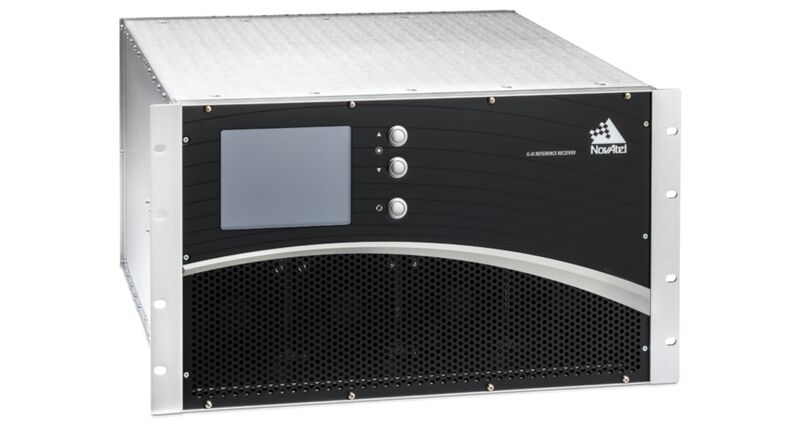
GNSS Reference Receivers:
Ground Uplink Station Equipment:
NovAtel manufactures signal generator and reference receivers for use in the ground uplink stations of SBAS networks. This equipment generates, controls and adjusts the SBAS signals for broadcast by the GEO satellites.
Scintillation Monitoring Receivers:
Scintillation is a localized effect not included in the wide area augmentation system measurements. Scintillation is the result of disturbances in the ionosphere caused by solar flares and is becoming more pronounced as we approach the 2013 peak in solar activity. These receivers:
Receiver Autonomous Integrity Monitoring (RAIM) Receivers:
Our RAIM technology, based on RTCA DO-229D (2006), provides receiver autonomous integrity monitoring for broadcast GNSS signals. RAIM supported receivers:
Fixed Reference GNSS Antennas:
Fixed reference antennas are GNSS antennas optimized for reference station applications. Each antenna contains a choke ring to reduce the strength of undesired reflected signals (multipath) that degrade positioning accuracy.
NovAtel is a world leader in providing equipment for GNSS ground reference stations and augmentation networks to the North American, European and Asian aviation and space...
RAIM firmware provides receiver autonomous integrity monitoring for broadcast GNSS signals by detecting and excluding faulty signals.